Edward P Richards - Photography

Hurricane Katrina Photographs - Slidell and South to New Orleans

Hurricane Katrina Photo Index

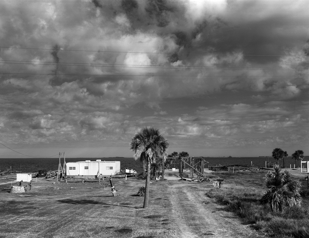
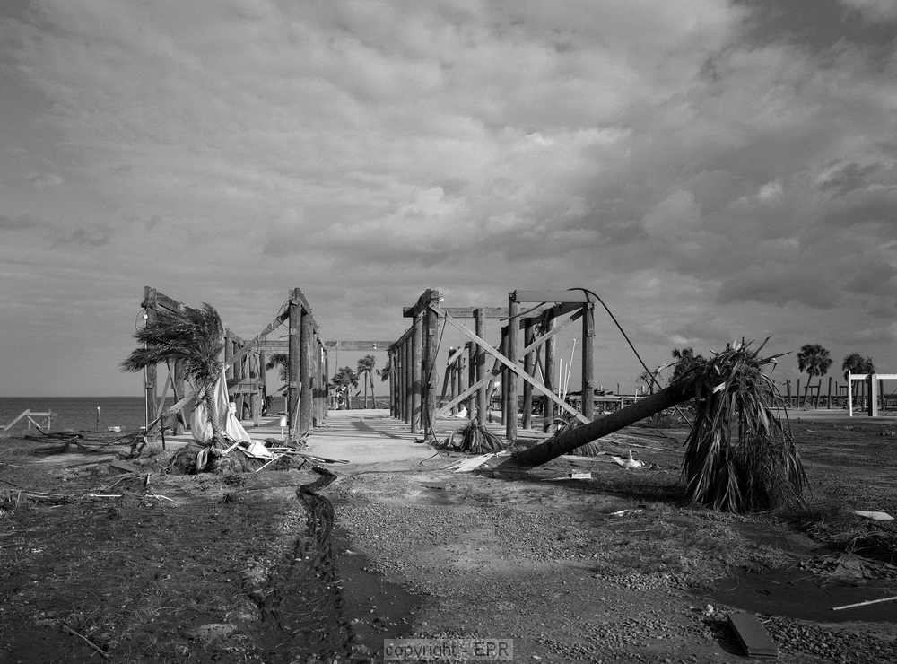
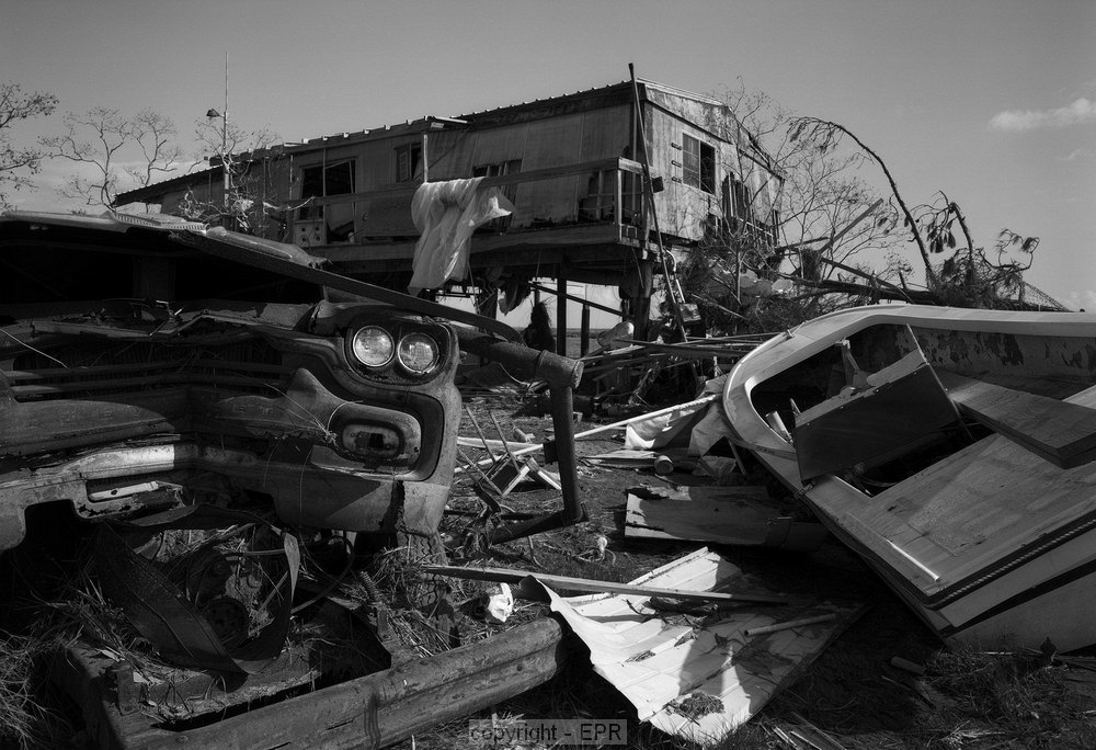
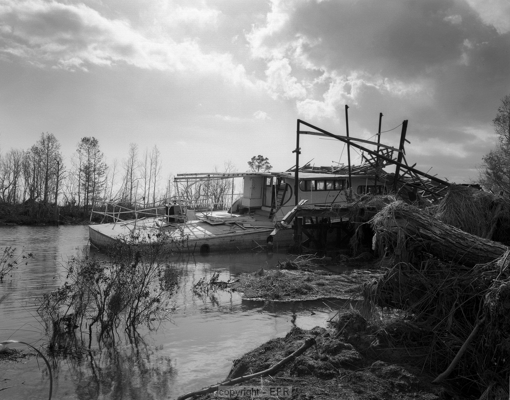
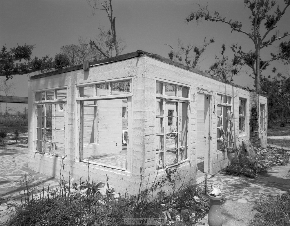
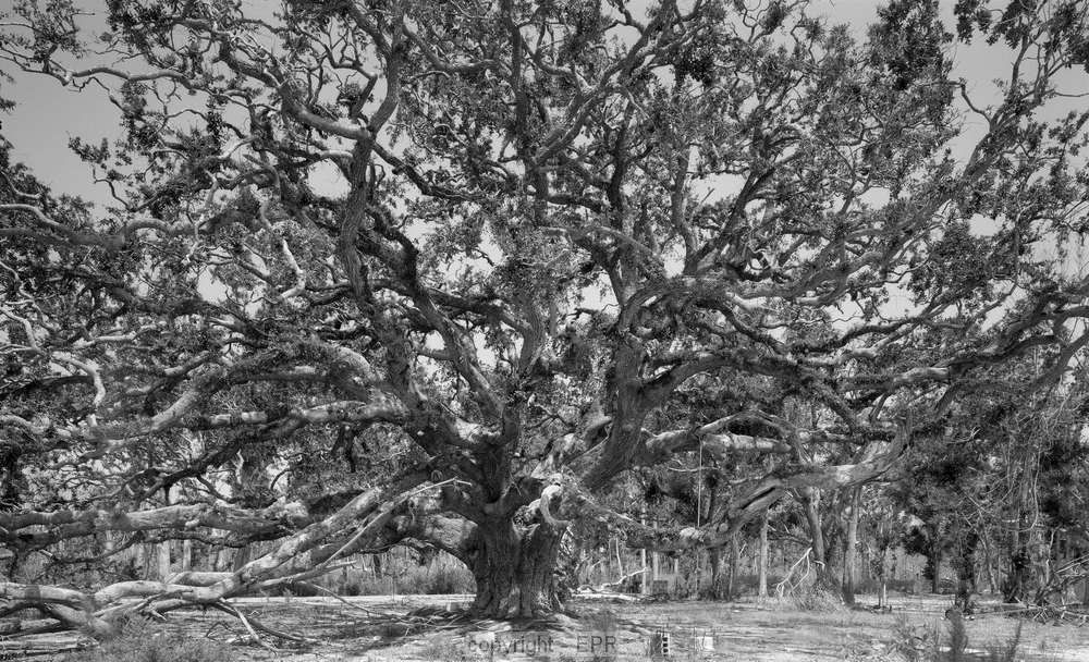
These pictures were taken in Slidell and south on the old highway to New Orleans. This road runs south and is bounded by Lake Pontchartrain on the right and Gulf of Mexico on the left.

This was a group of beach houses on the Gulf side. The water was higher than the tops of the piers.

The same houses, one year later, with a FEMA trailer added to house the residents.


A house that was far enough back from the water to survive.

These are caskets that were flooded and moved by the flood in a cemetery in south Slidell.


This is one of the thousands of boats beached by the storm. This was pushed into a dock and swamped.

The cinder block walls of this Gulf view house survived the storm surge which was many feet over the roof.


The remains of a home site and an ancient live oak.

A displaced tug boat being reclaimed by nature.


Copyright as to non-public domain materials
Edward P. Richards, III, JD, MPH
Webmaster